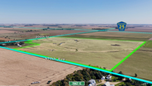
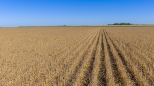
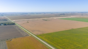
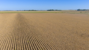
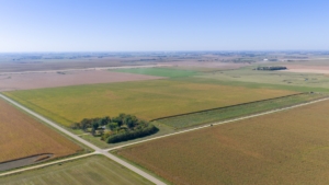
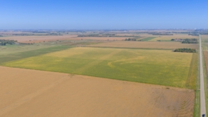
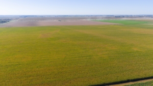
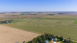
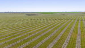
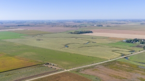
Tract #1A is virtually all tillable with the exception of an area with approx. 3.37 acres of grassland and trees in the SW Corner of Tr. #1A and roads, as according to FSA information the fields in TRACT #1A are divided into 2 FSA tracts – T5275 & T5276, which combined have approx. 98.27 acres of cropland – T5275 has approx. 48.90 acres of cropland with a 19.06 acre corn base with a 127 bu. PLC yield , a 14.45 acre soy-bean base with a 33 bu. PLC yield and a 4.22 acre wheat base with a 52 bu. PLC yield; T5276 has approx. 49.37 acres of cropland with a 19.25 acre corn base with a 130 bu. PLC yield , a 14.59 acre soybean base with a 38 bu. PLC yield and a 4.26 acre wheat base with a 52 bu. PLC yield; According to info. obtained from Surety Agri Data the land included in Tract #1A has a Soil Productivity Index of 83.9, with the majority being comprised of Class I soils, with a level to nearly level topography. The 2024 RE taxes payable in 2025 on the portion included in Tract #1A on the E. +/-53 acres were $1,566.38 and on the W. +/- 53 acres were $1,563.34 .
PROPOSED LEGAL DESC.: Tract 1A of Robbins Add’n., an Add’n. in the SE¼ of Sec. 25, T. 111N., R. 49W., Brookings County, SD
Tract #1B is comprised of the entire NE¼, except a previously sold acreage site in the NE corner, and together with the adjacent cropland acres in the E½ NW¼ of Sec. 25. With the actual legal description to be as to be described in the survey and plat of this parcel. Tract #1B has a very high percentage tillable with the exception of roads. According to FSA information the fields in TRACT #1B located in the NE¼ are di-vided into 2 FSA Tracts – T48 & T7537, in addition the adjacent cropland acres in the E½ NW¼ were also incorporated into Tract #1B. FSA T48 (S½ NE¼) has approx. 77.81 acres of cropland with a 30.37 acre corn base with a 127 bu. PLC yield , a 23.02 acre soybean base with a 33 bu. PLC yield and a 6.72 acre wheat base with a 52 bu. PLC yield; T7537 (N½ NE¼) has approx. 71.27 acres of cropland with a 27.72 acre corn base with a 130 bu. PLC yield, a 21.01 acre soybean base with a 38 bu. PLC yield and a 6.13 acre wheat base with a 52 bu. PLC yield; additionally based on reference to the FSA aerial photo there are two fields in the E 1/3 of the NW¼ that will be included in Tract #1B, with the northern field containing approx. 18.83 acres of cropland and another being the southern field containing approx. 11.28 acres – hence altogether Tract #1B is estimated to contain approx. 179.19 acres of cropland. According to info. obtained from Surety Agri Data the land included in Tract #2 has a Soil Productivity Index of 70.1, with the majority being comprised of Class I soils, with a level to gently rolling topography. Due to the overlapping boundaries the actual 2024 RE taxes payable in 2025 are unavailable; although the taxes for the N½ NE¼, Exc. acreage prev. sold were - $1,977.20 and the S½ NE¼ were $2,226.12.
PROPOSED LEGAL DESC.: Tr. 1B of Robbins Add’n. in the NE¼ and the NW¼ Sec. 25, T. 111N., R. 49W.,
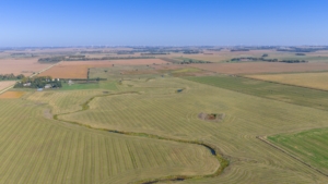
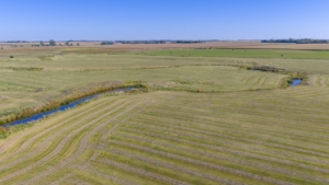
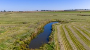
Tract #1C is a parcel of land comprised primarily of established grassland pasture with a rolling to hilly terrain and water provided by a combination of water sources including a dugout and a creek. According to FSA information it appears that this parcel has approx. 93 acres of what appears to be native pasture and approx. 16.15 acres with a cropland history that appears to be hayland/grass. According to information obtained from Surety Agri-Data the portion included within Tr. #3 has a soil productivity index of 59.8. This parcel would be an excellent seasonal/summer pasture that is especially well suited for the cow-calf producer. Due to the overlapping boundaries the actual 2024 RE taxes payable in 2025 are unavailable, although prior to the survey the RE taxes for taxable acres for the portion owned by the Robbins Family in the NW¼ on the N. 73.21 acres were $1,380.90 and the S. 73.15 acres were $1,398.40.
PROPOSED LEGAL DESC.: Tr. 1C of Robbins Add’n. in the NW¼ of Sec. 25, T. 111N., R. 49W., excl. the acreage site in the NW Corner – Actual Legal Description to be as to be described in the survey and plat of this parcel.
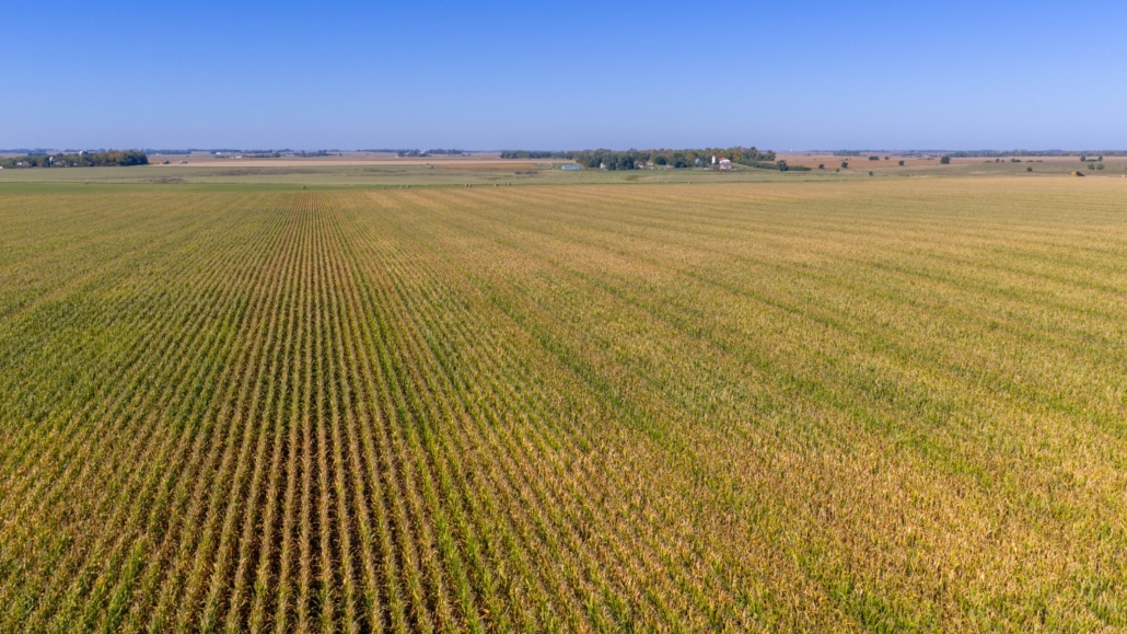

 Afton Twp., Brookings Co., SD


