


 Afton Twp., Brookings Co., SD
From White, SD (Jct. Hwy’s. #30 (204th St. & Co. Hwy. #25 (478th Ave.) – 3 miles south to the Southeast Corner of the Land at the Jct. of 207th St. and 478th Ave.; from Brookings, SD – Exit #132 on I-29 – 5½ miles east on Hwy. #14 to the Bushnell Corner & 5 miles north on 478th Ave. (Hwy. #25) to the SE Corner of the Land at the Jct. of 478th Ave. and 207th St.
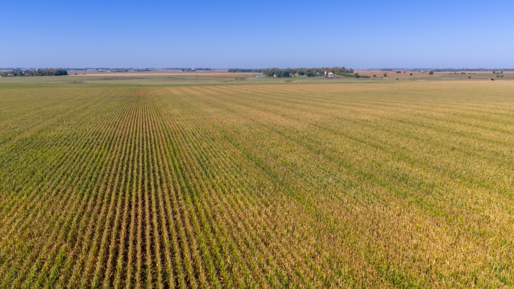
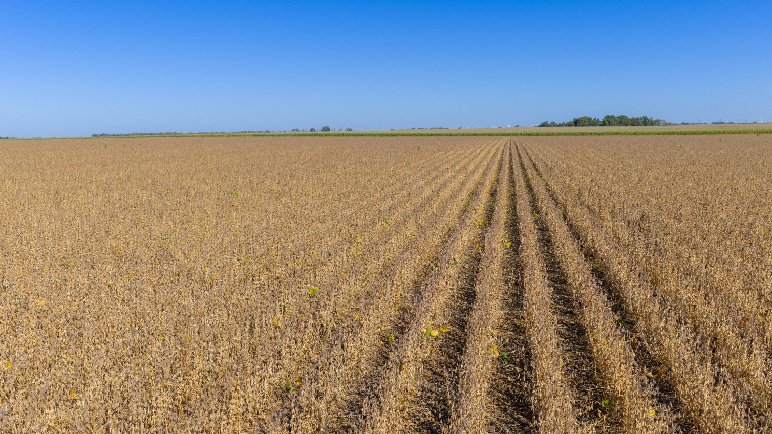
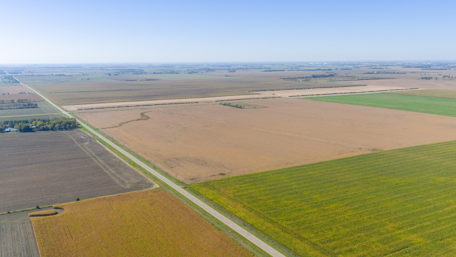
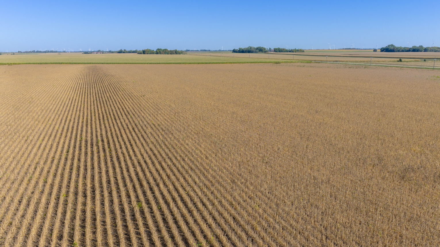
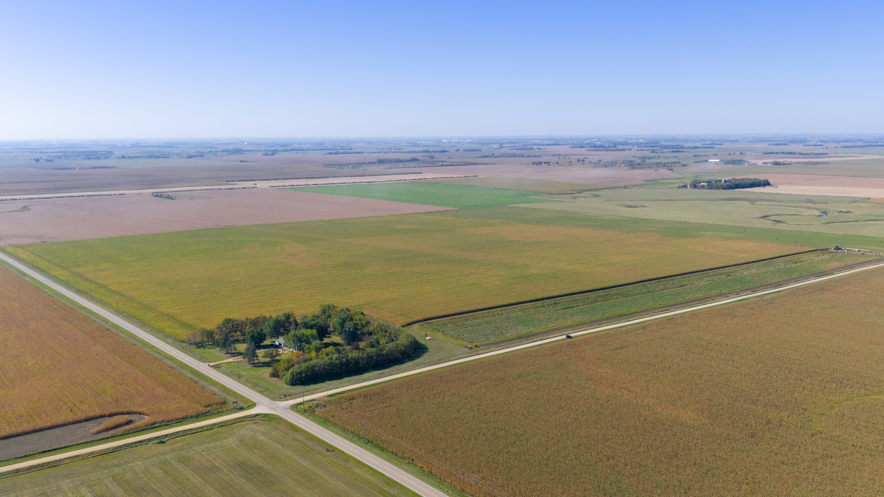
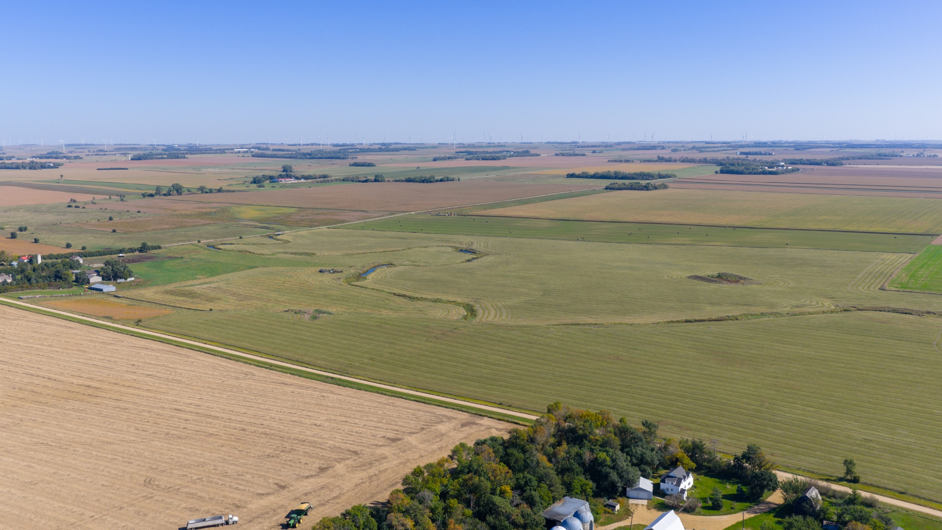
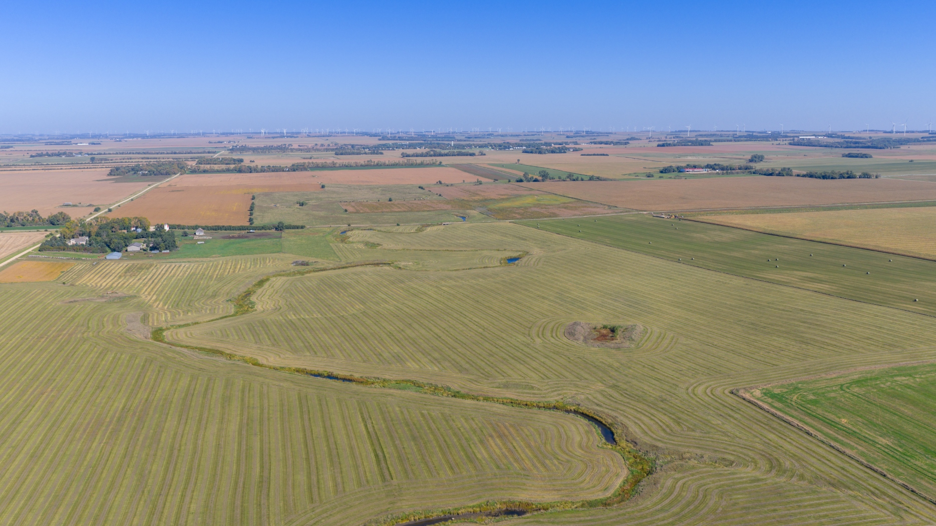
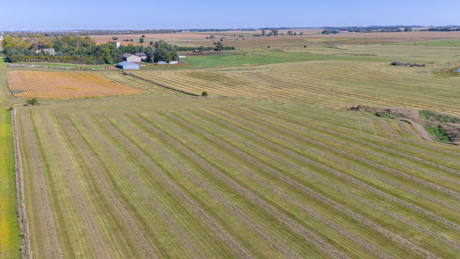
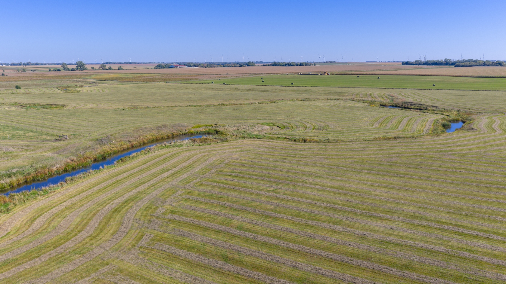
This auction presents a great opportunity to purchase a productive parcel of cropland with some high-quality soils, a relatively high percentage tillable and a parcel comprised primarily of pasture. This land has a superb location lying adjacent to a county highway and conveniently located between Bushnell & White, SD and within 10 miles of Brookings, SD and Ethanol Facilities at Aurora, SD and the Soybean Processing Plant at Volga, SD. This land is situated in a prominent agricultural area in Afton Township in Brookings County, SD. This land is available to the buyer to farm or lease as they desire in 2026. If you are in the market for agricultural land in Brookings County, SD as an addition to an area row crop or crop/livestock operation or as an investment, then make plans to attend this auction, especially since this land will be offered in individual parcels and combinations of parcels to fit the needs of a wide variety of potential buyers.
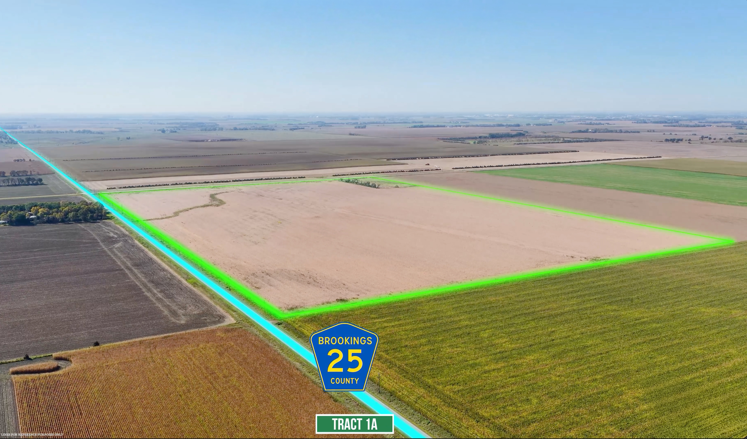
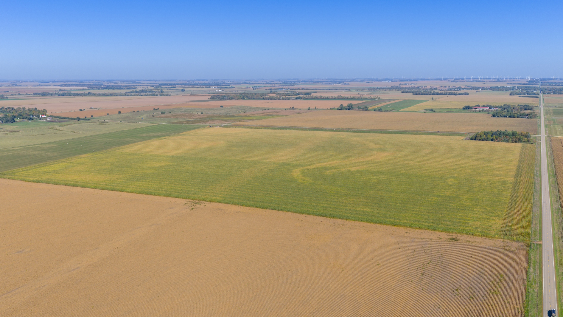
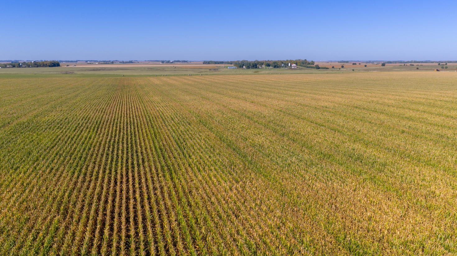
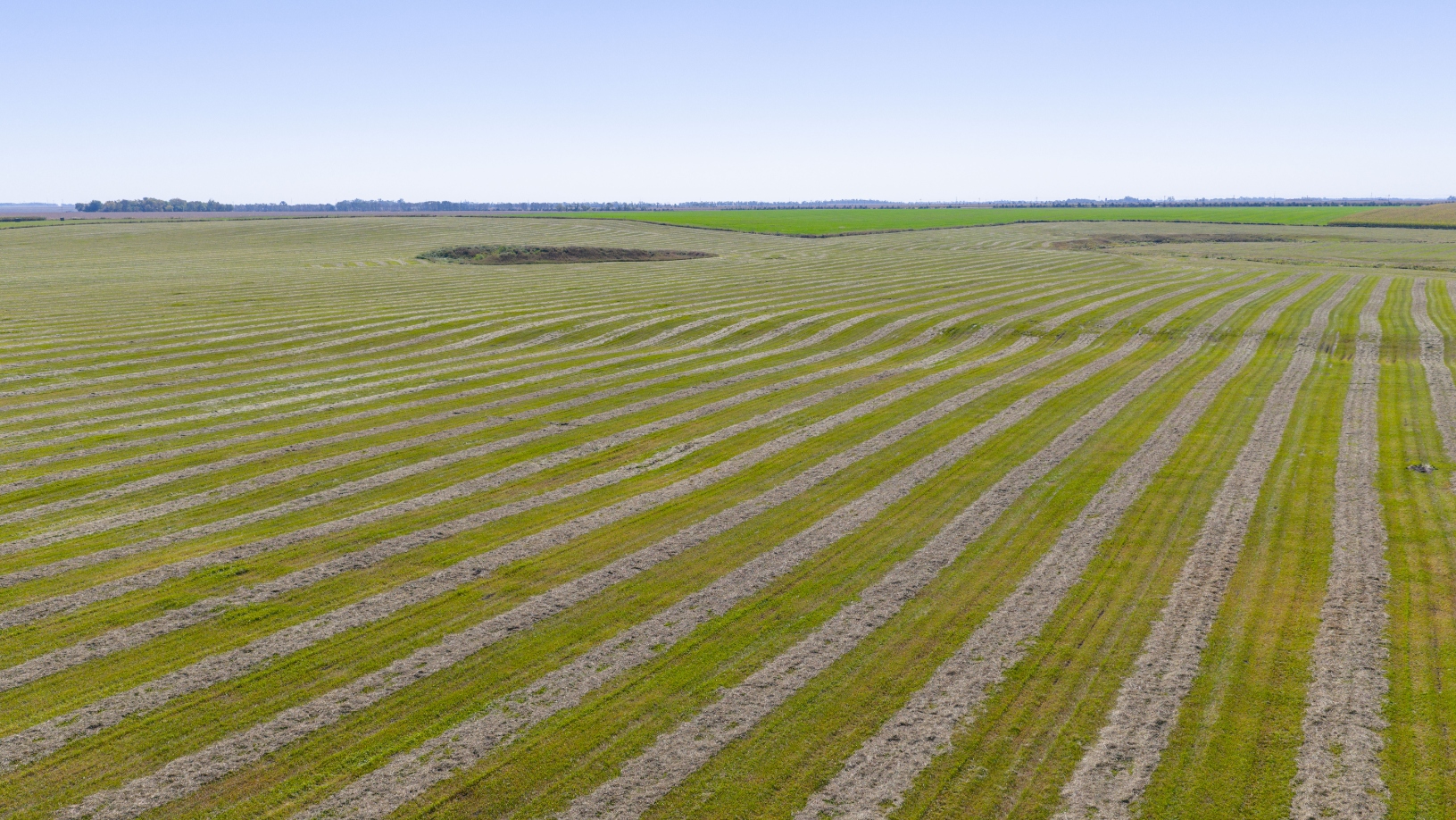
Tract #1A is virtually all tillable with the exception of an area with approx. 3.37 acres of grassland and trees in the SW Corner of Tr. #1A and roads, as according to FSA information the fields in TRACT #1A are divided into 2 FSA tracts – T5275 & T5276, which combined have approx. 98.27 acres of cropland – T5275 has approx. 48.90 acres of cropland with a 19.06 acre corn base with a 127 bu. PLC yield , a 14.45 acre soy-bean base with a 33 bu. PLC yield and a 4.22 acre wheat base with a 52 bu. PLC yield; T5276 has approx. 49.37 acres of cropland with a 19.25 acre corn base with a 130 bu. PLC yield , a 14.59 acre soybean base with a 38 bu. PLC yield and a 4.26 acre wheat base with a 52 bu. PLC yield; According to info. obtained from Surety Agri Data the land included in Tract #1A has a Soil Productivity Index of 83.9, with the majority being comprised of Class I soils, with a level to nearly level topography. The 2024 RE taxes payable in 2025 on the portion included in Tract #1A on the E. +/-53 acres were $1,566.38 and on the W. +/- 53 acres were $1,563.34 .
PROPOSED LEGAL DESC.: Tract 1A of Robbins Add’n., an Add’n. in the SE¼ of Sec. 25, T. 111N., R. 49W., Brookings County, SD
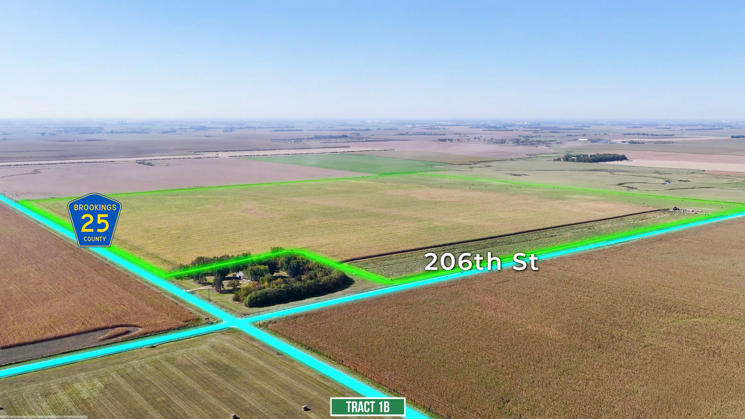
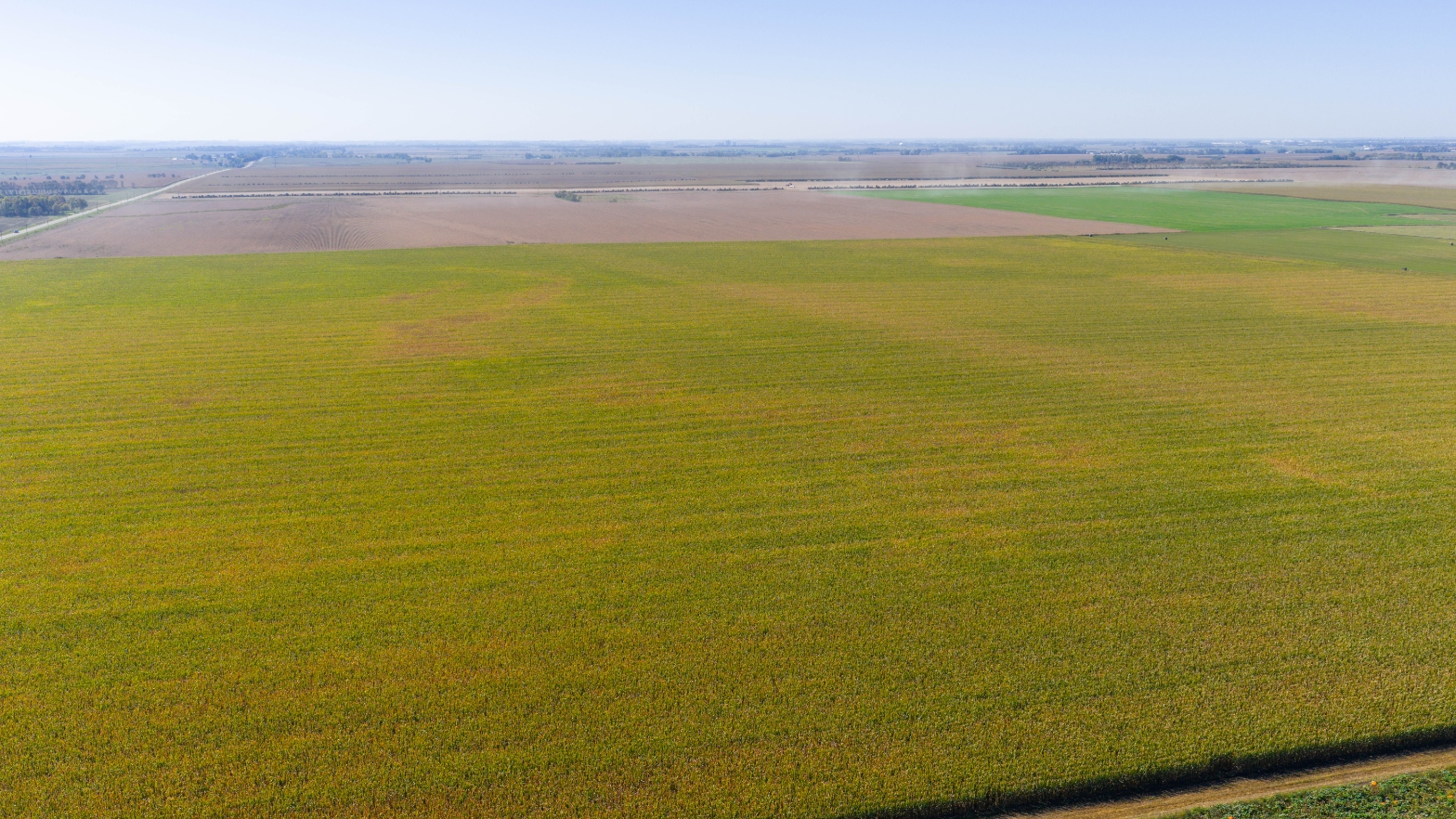
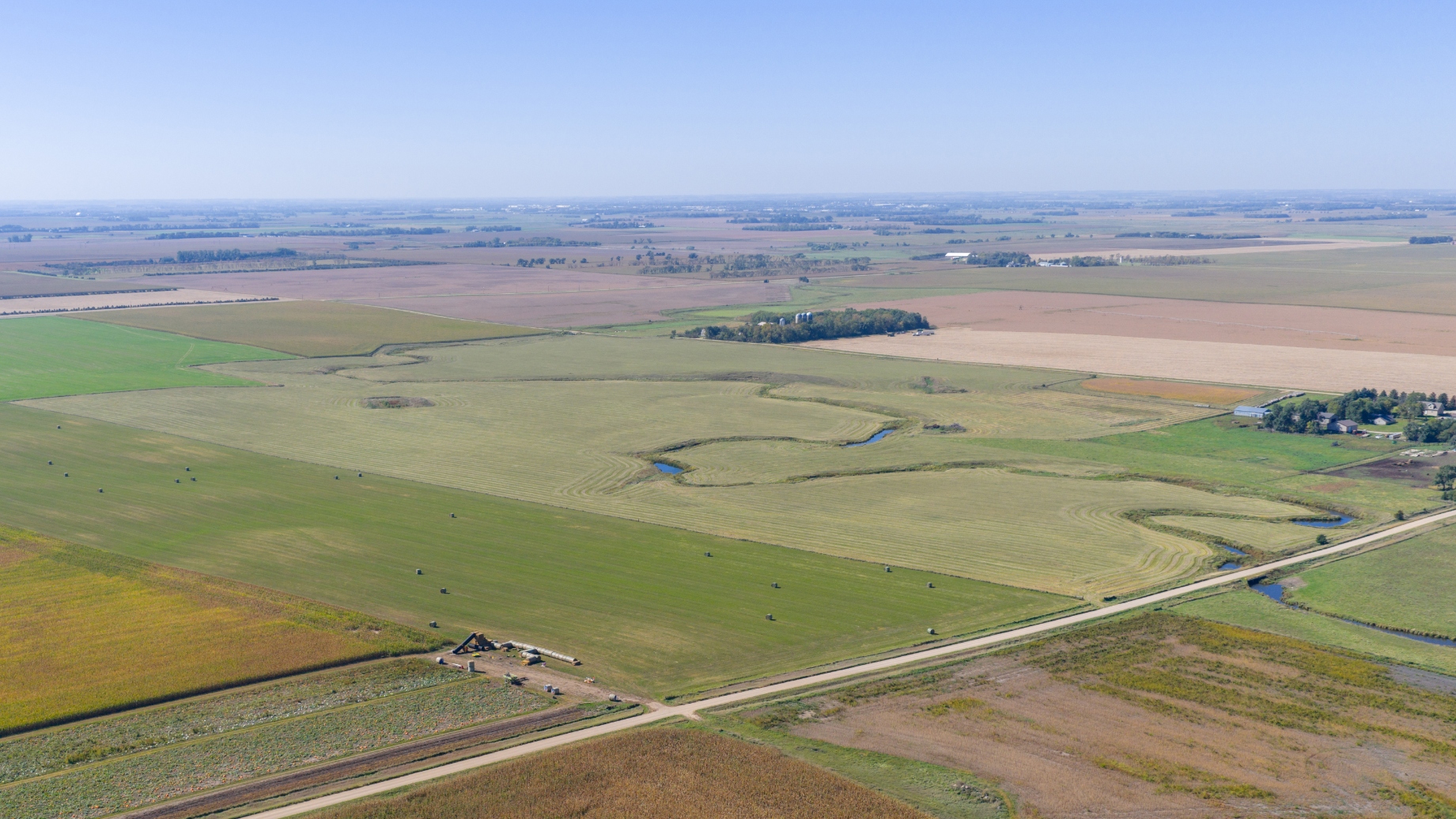
Tract #1B is comprised of the entire NE¼, except a previously sold acreage site in the NE corner, and together with the adjacent cropland acres in the E½ NW¼ of Sec. 25. With the actual legal description to be as to be described in the survey and plat of this parcel. Tract #1B has a very high percentage tillable with the exception of roads. According to FSA information the fields in TRACT #1B located in the NE¼ are di-vided into 2 FSA Tracts – T48 & T7537, in addition the adjacent cropland acres in the E½ NW¼ were also incorporated into Tract #1B. FSA T48 (S½ NE¼) has approx. 77.81 acres of cropland with a 30.37 acre corn base with a 127 bu. PLC yield , a 23.02 acre soybean base with a 33 bu. PLC yield and a 6.72 acre wheat base with a 52 bu. PLC yield; T7537 (N½ NE¼) has approx. 71.27 acres of cropland with a 27.72 acre corn base with a 130 bu. PLC yield, a 21.01 acre soybean base with a 38 bu. PLC yield and a 6.13 acre wheat base with a 52 bu. PLC yield; additionally based on reference to the FSA aerial photo there are two fields in the E 1/3 of the NW¼ that will be included in Tract #1B, with the northern field containing approx. 18.83 acres of cropland and another being the southern field containing approx. 11.28 acres – hence altogether Tract #1B is estimated to contain approx. 179.19 acres of cropland. According to info. obtained from Surety Agri Data the land included in Tract #2 has a Soil Productivity Index of 70.1, with the majority being comprised of Class I soils, with a level to gently rolling topography. Due to the overlapping boundaries the actual 2024 RE taxes payable in 2025 are unavailable; although the taxes for the N½ NE¼, Exc. acreage prev. sold were - $1,977.20 and the S½ NE¼ were $2,226.12.
PROPOSED LEGAL DESC.: Tr. 1B of Robbins Add’n. in the NE¼ and the NW¼ Sec. 25, T. 111N., R. 49W.,
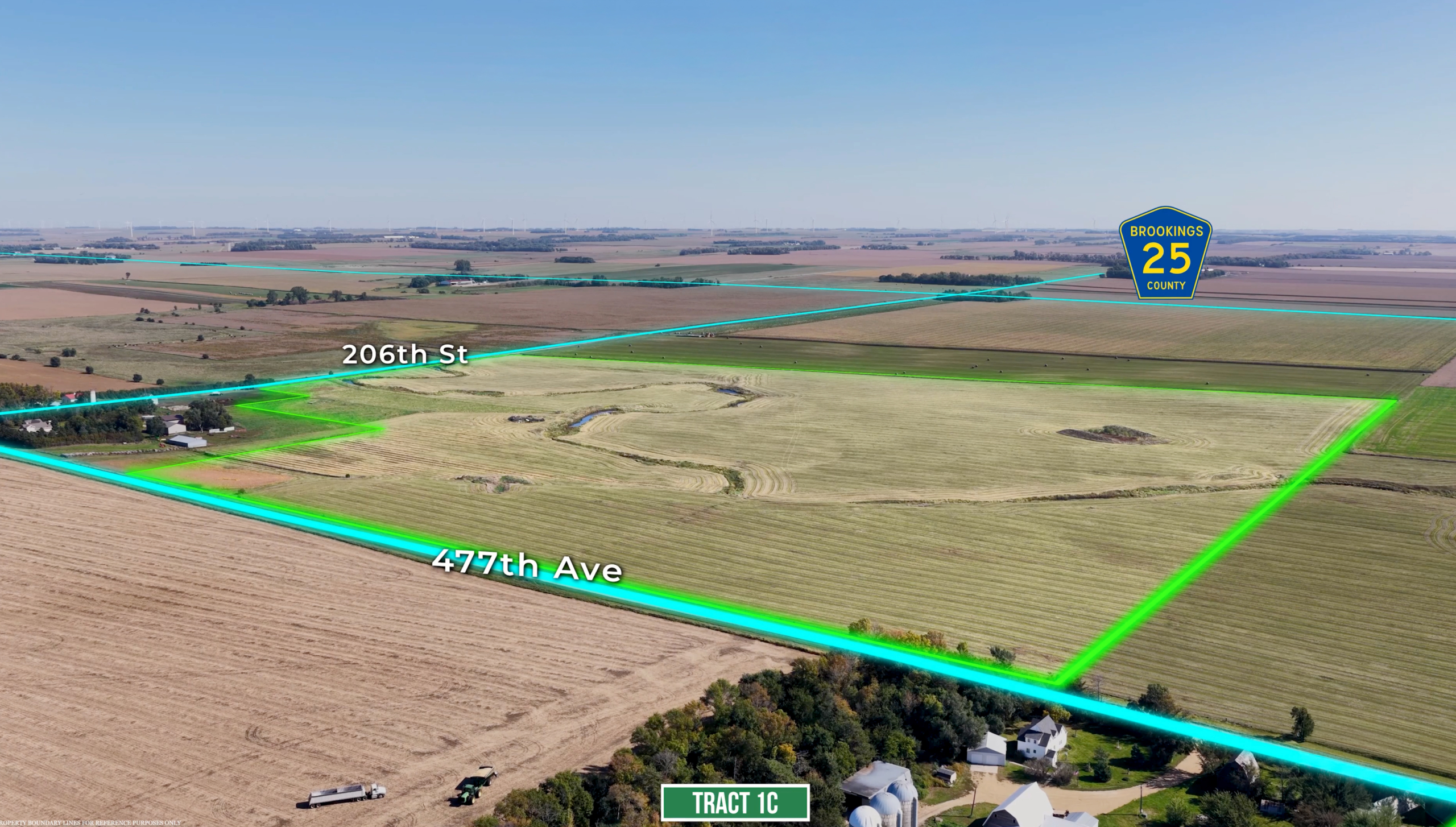
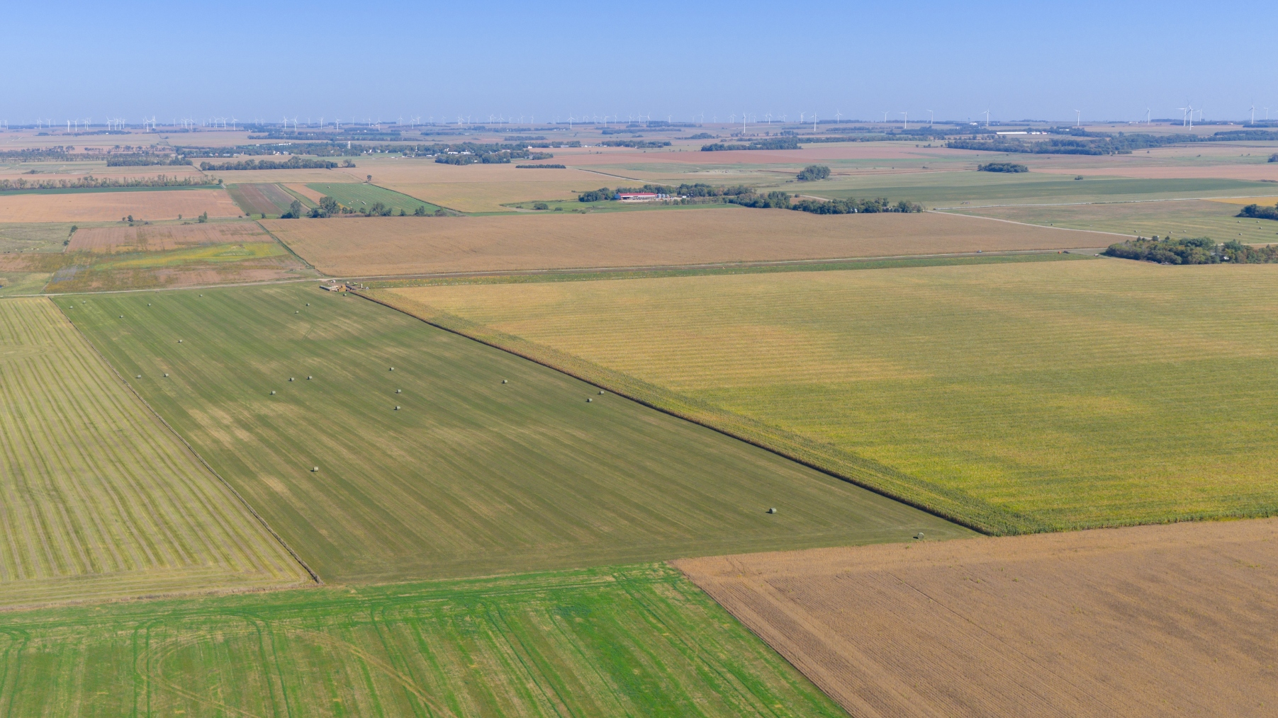
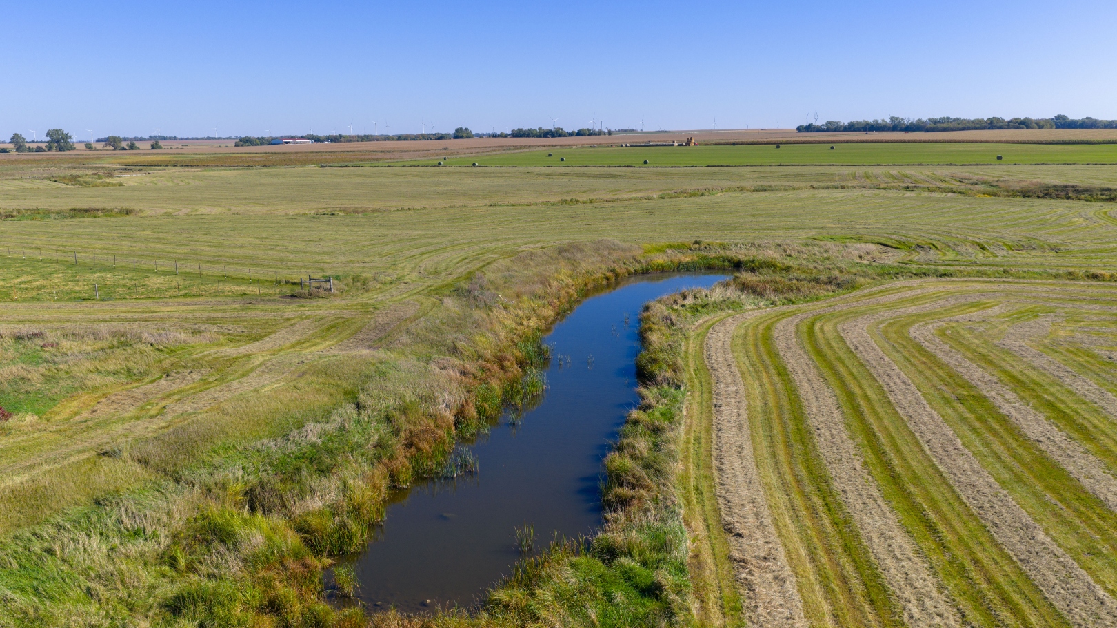
Tract #1C is a parcel of land comprised primarily of established grassland pasture with a rolling to hilly terrain and water provided by a combination of water sources including a dugout and a creek. According to FSA information it appears that this parcel has approx. 93 acres of what appears to be native pasture and approx. 16.15 acres with a cropland history that appears to be hayland/grass. According to information obtained from Surety Agri-Data the portion included within Tr. #3 has a soil productivity index of 59.8. This parcel would be an excellent seasonal/summer pasture that is especially well suited for the cow-calf producer. Due to the overlapping boundaries the actual 2024 RE taxes payable in 2025 are unavailable, although prior to the survey the RE taxes for taxable acres for the portion owned by the Robbins Family in the NW¼ on the N. 73.21 acres were $1,380.90 and the S. 73.15 acres were $1,398.40.
PROPOSED LEGAL DESC.: Tr. 1C of Robbins Add’n. in the NW¼ of Sec. 25, T. 111N., R. 49W., excl. the acreage site in the NW Corner – Actual Legal Description to be as to be described in the survey and plat of this parcel.
Tracts 1A, 1B, and 1C in the NE, SE & NW 1/4s of Section 25, T-111-N, R-49-W, Brookings Co., SD
Cash with a Short Term Installment Sale - A 10% nonrefundable downpayment on the day of the sale with an additional 40% on Dec. 30, 2025 with possession, and the remaining 50% on or before Jan. 6, 2026, but not prior to Jan. 1st, 2026. Full possession for the 2026 crop and grazing season. Marketable Title will be conveyed and an owner’s title insurance policy will be provided with the cost of the owner’s policy and the closing agent’s fee (Brookings County Title Company) to be divided 50-50 between the buyer(s) and sellers. All of the 2025 RE taxes payable in 2026 will be paid by the sellers. The total acres being sold are being sold in accordance with a survey as completed by Midwest Land Surveying, Inc., with the acres understood to be “more or less”. All survey costs will be paid by the estate. The sellers do not guarantee that existing fences lie on the true and correct boundary and any new fencing, if any, will be the responsibility of the purchaser(s) pursuant to SD Law. FSA cropland acres, yields, bases, payments & other information are estimated and not guaranteed and if divided into multiple parcels will be subject to an FSA reconstitution & County Committee Approval and also are subject to pending action and implementation of the New Farm Bill. Information contained herein is deemed to be correct but is not guaranteed. This property is sold in “AS IS” CONDITION and subject to any existing easements, restrictions, reservations or highways of record if any, as well as any or all Brookings County Zoning Ordinances. The RE licensees in this transaction are acting as agents for the seller. Sold subject to confirmation of the owners.
HEIRS OF LLOYD & DARRELL ROBBINS aka ROBBINS BROTHERS, Owners
CHUCK SUTTON – Auctioneer & Land Broker – Sioux Falls, SD – 605-336-6315 JARED SUTTON, CAI – Auctioneer & RE Broker Assoc. – Flandreau, SD – 605-864-8527 GAGE GULLICKSON – Auctioneer & RE Broker Assoc. – Flandreau, SD – ph. 605-651-3867 BURLAGE-PETERSON – Auctioneers & Realtors – Brookings, SD 605-692-7102

 14.44 +/- Acre Acreage Auction, Brookings County, SD
Scroll to top
14.44 +/- Acre Acreage Auction, Brookings County, SD
Scroll to top